News
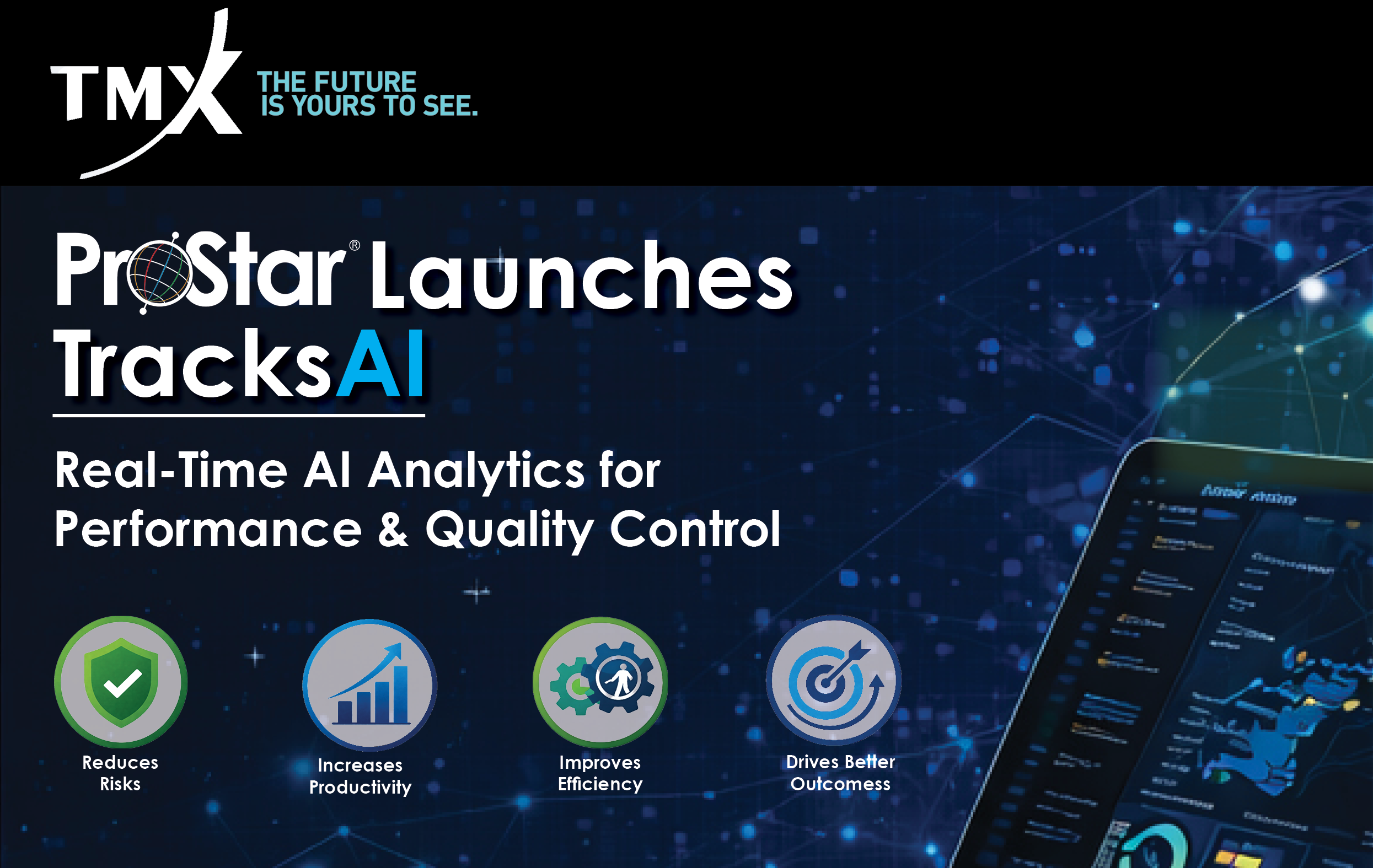
ProStar Launches TracksAI, An AI Driven Real-Time Analytics, Performance, and Quality Control Reporting Module
ProStar Launches TracksAI, An AI Driven Real-Time Analytics, Performance, and Quality Control Reporting Module


ProStar Launches TracksAI, An AI Driven Real-Time Analytics, Performance, and Quality Control Reporting Module

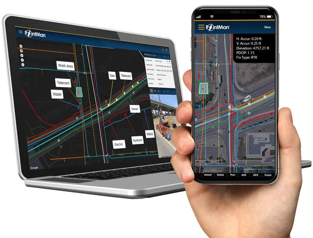
Fluke Launches SmartTrace with PointMan For Safer, More Accurate Asset Tracking and Management

ProStar Holdings Inc. is pleased to announce that the Company has closed its previously announced non-brokered private placement of secured convertible debentures of the Company in the aggregate principal amount of US$675,000.